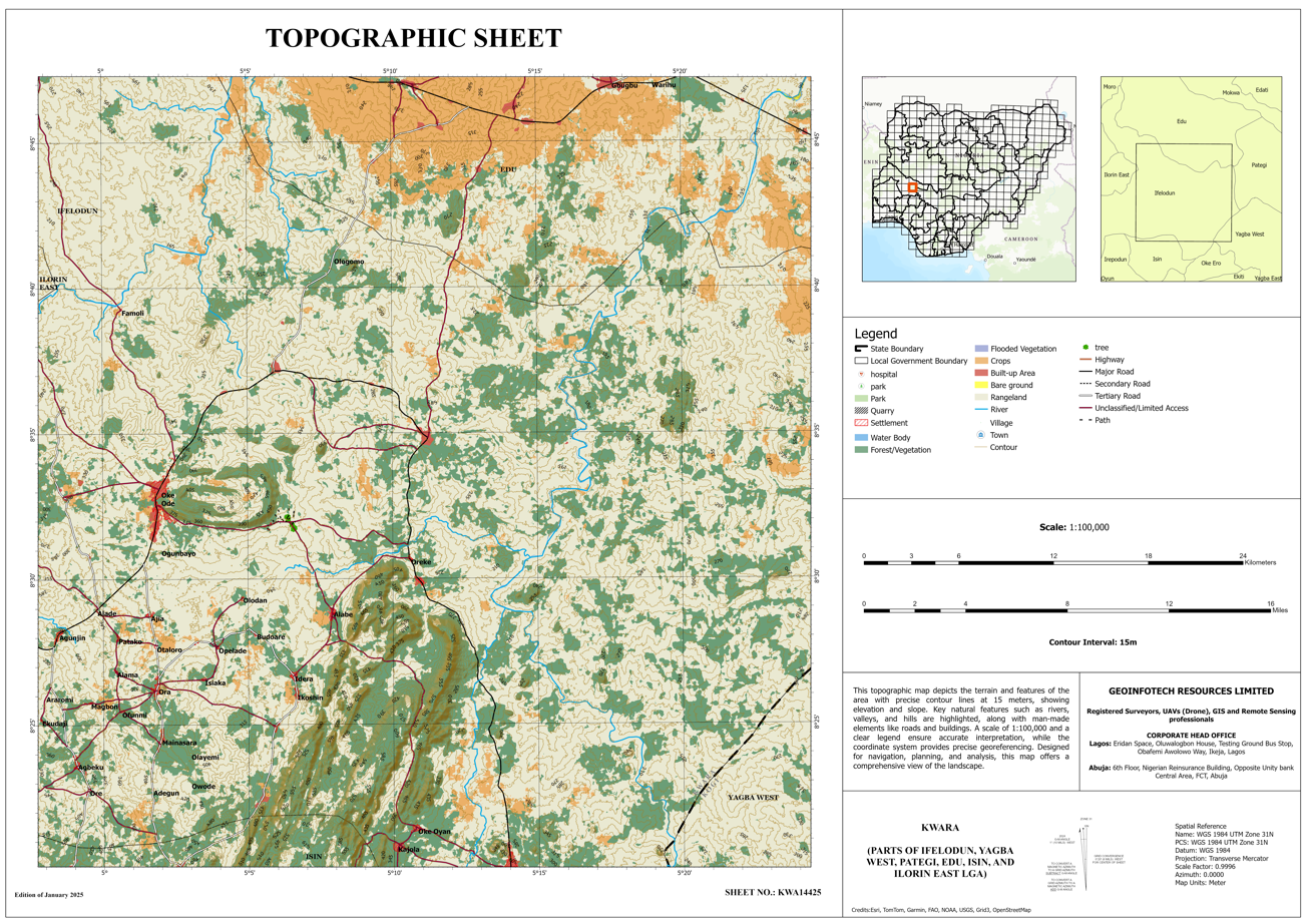
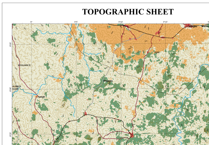
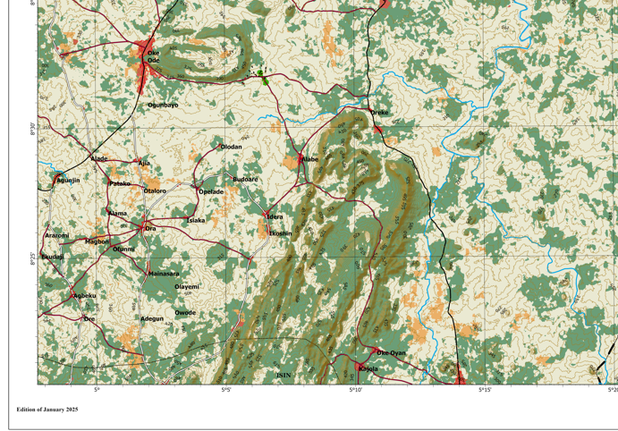
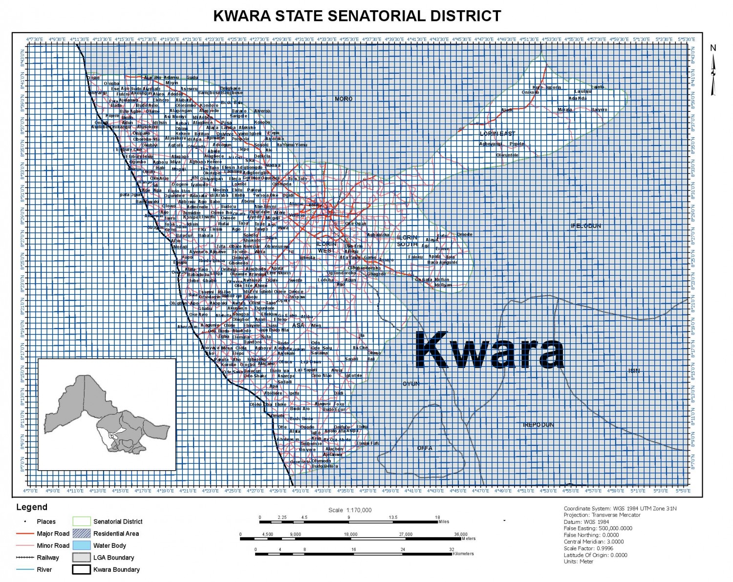
Topographic map of Kwara (Parts of Ifelodun, Yagba West, Pategi, Edu, Isin & Ilorin East LGA) – KWA14425
Inhouse product


This Topographic map of Kwara
(Parts of Ifelodun, Yagba West, Pategi, Edu, Isin & Ilorin East LGA) – KWA14425
was produced by Geoinfotech GIS team. Satellite imagery and other geographic
data were used in preparing this map.
Date of Dataset: 2025 till date
Updated: January, 2025
Location : Ifelodun, Yagba West,
Pategi, Edu, Isin & Ilorin East LGA
Dataset Language: English
Tags:
Ifelodun, Yagba West,
Pategi, Edu, Isin & Ilorin East LGA, Railway, Town, Contour, Forest
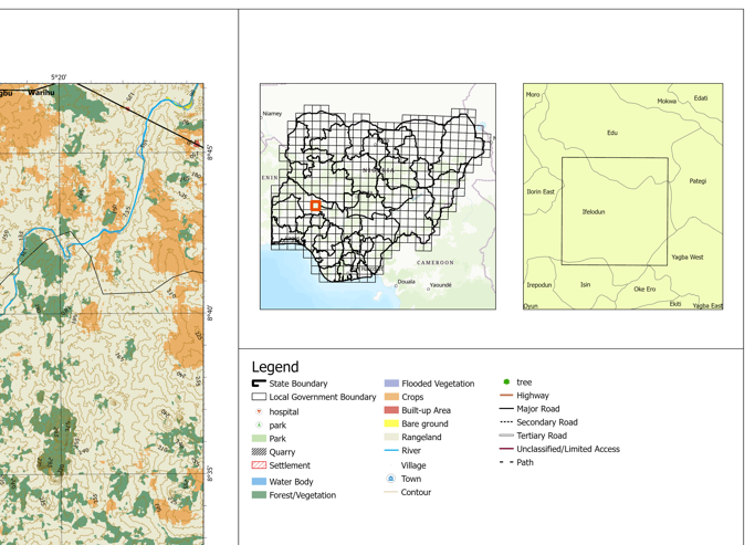
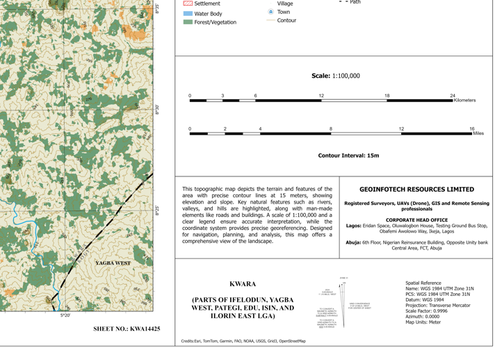
Credits: Esri, TomTom, Garmin, FAO, NOAA, USGS, Grid3,
OpenStreetMap, CGIAR
File Format: PNG
Use Winzip 11.1 or more
recent version of this software to unzip the package
Related products
"Geoinfo Store is Nigeria and West Africa’s No. 1 supplier of premium Surveying and Geographic Information Technology tools and equipment. We offer a wide range of products, including drones (UAVs), GPS/DGPS devices, total stations, maps, geodatasets, and specialised GIS & remote sensing software. Our mission is to provide professionals and organisations with accurate, reliable, and innovative solutions for mapping, surveying, and geospatial analysis. Whether you need hardware, software, or expert support, Geoinfo Store is your trusted partner for precision and performance."
Official Website geoinfotech.ng
Lagos office: Geoinfotech, Oluwalogbon House, Testing Ground Bus Stop, Obafemi Awolowo Way, Ikeja, Lagos. maps.app.goo.gl
Phone No:
+234 901 196 5526
+234 813 410 1202
+234 816 322 2177
Abuja office: 6th floor, Nigeria Reinsurance Building, Plot 784A Herbert Macaulay Way, Central Business District, FCT, Abuja. maps.app.goo.gl
Phone No:
+234 901 196 5526
+234 816 322 2177
+234 901 872 4833
Contact Info
- Address: Lagos: Inside Eridan Place, Oluwalogbon House, Testing Ground Bus Stop, Obafemi Awolowo Way, Ikeja, Lagos
- Phone: +2349011965526
- Email: contact@geoinfotech.ng